ZENIT · Drone services in Bilbao, the Basque Country, Spain and Europe
What you can
only see
from above
Aerial drone photography and filming with a cinematic eye and engineering precision. Cinematic footage, 360° panoramas, maps and 3D models from the Basque Country to the rest of Spain and Europe.
 Aerial photography360° panoramasOrthophotos3D modelsConstruction monitoringFloor-level viewsRoof inspectionsConstruction timelapseGaussian splattingPermits handledAerial photography360° panoramasOrthophotos3D modelsConstruction monitoringFloor-level viewsRoof inspectionsConstruction timelapseGaussian splattingPermits handledAerial photography360° panoramasOrthophotos3D modelsConstruction monitoringFloor-level viewsRoof inspectionsConstruction timelapseGaussian splattingPermits handledAerial photography360° panoramasOrthophotos3D modelsConstruction monitoringFloor-level viewsRoof inspectionsConstruction timelapseGaussian splattingPermits handled
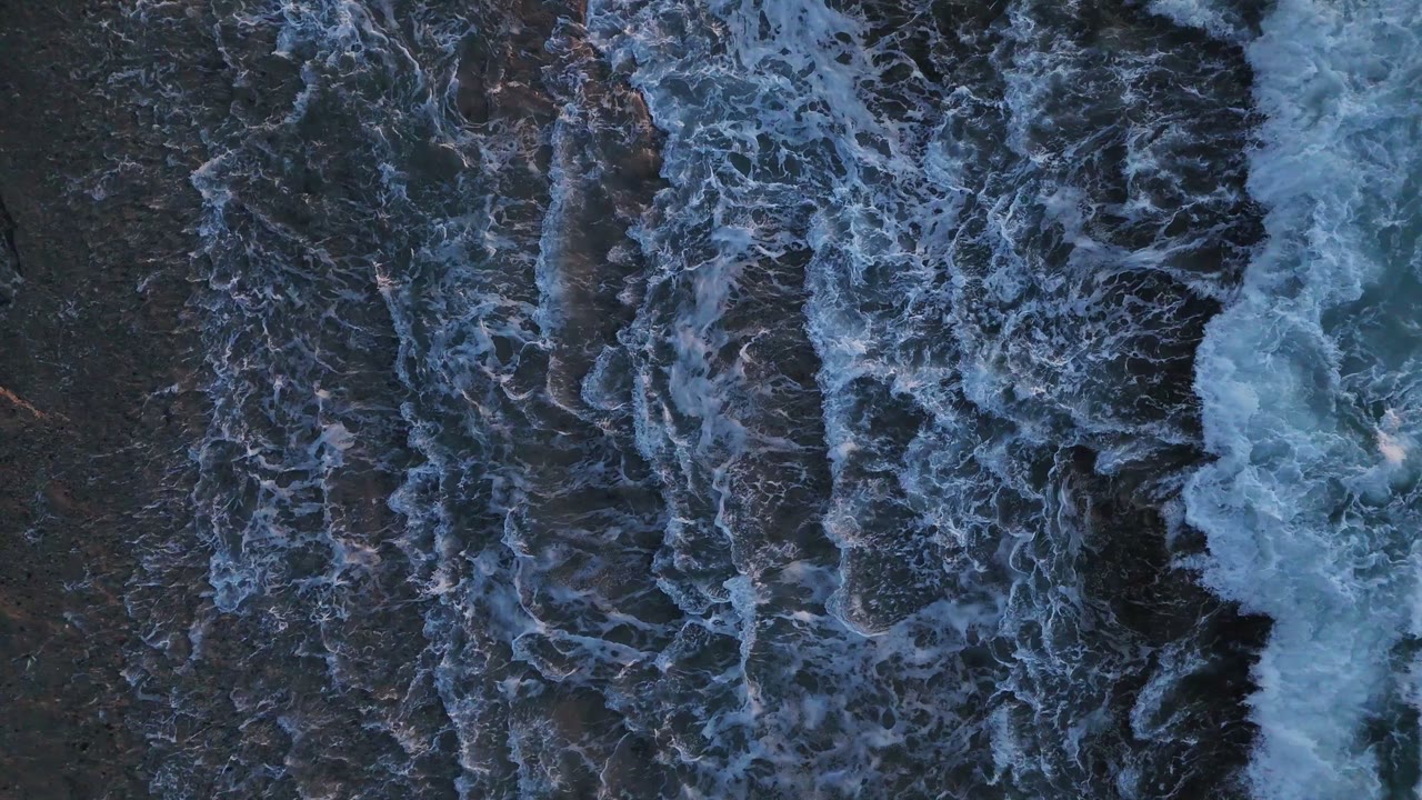
The zenith is the point in the sky directly above you. In film, a zenith or top shot looks straight down from above.
It's the shot only a drone can get without cranes or scaffolding, and it's where we live: right above what matters. Every shot has cinematic intent and every photo carries its coordinates. We are the aerial unit of Esteban Media, a video production company based in Getxo, near Bilbao.
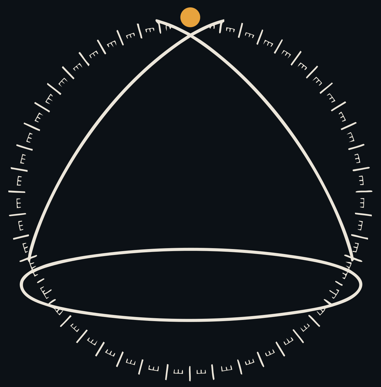 Celestial sphere · zenith
Nine ways of looking from above
From cinematic commercials to technical land plot reports. Starting prices, VAT not included.
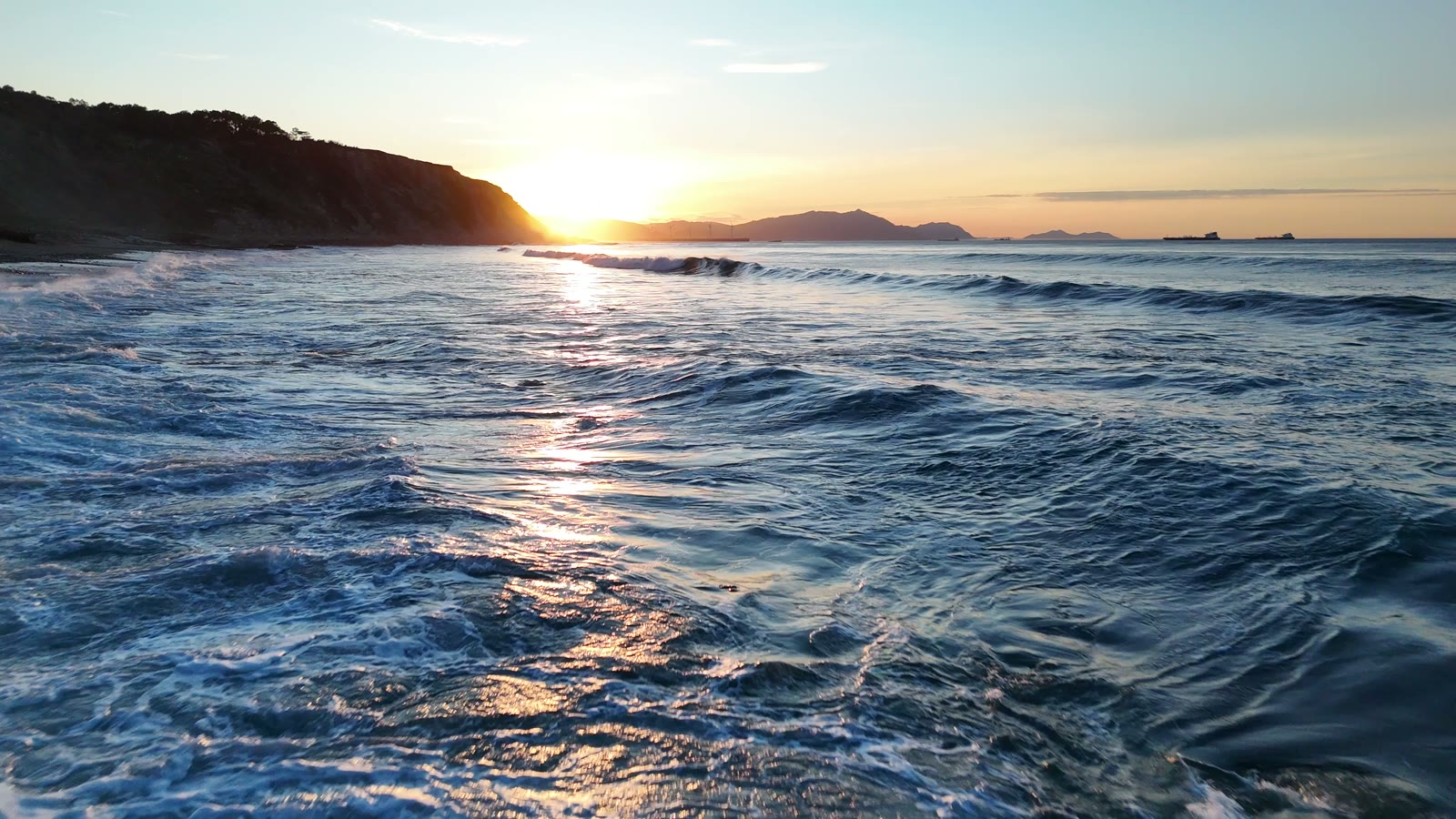
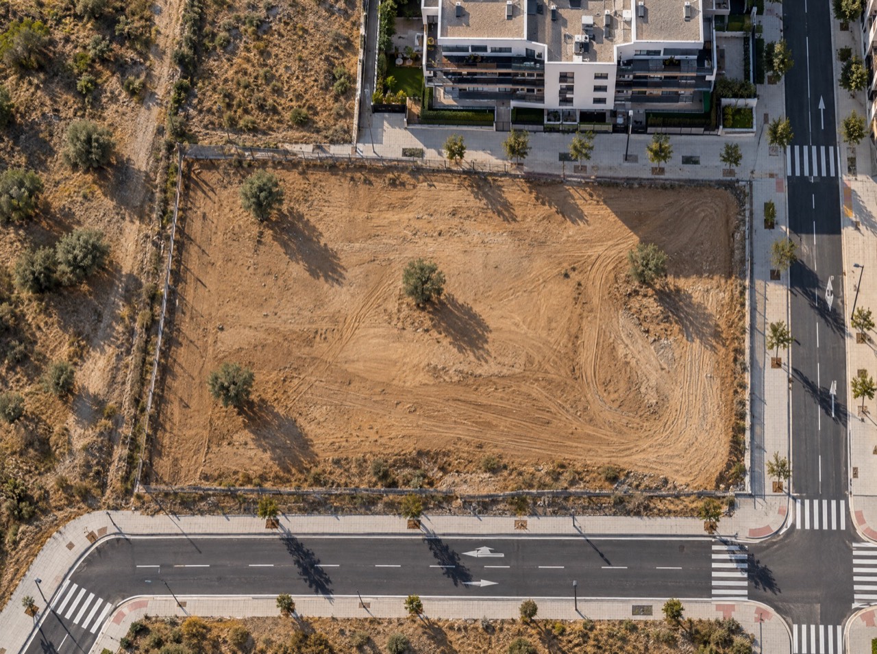
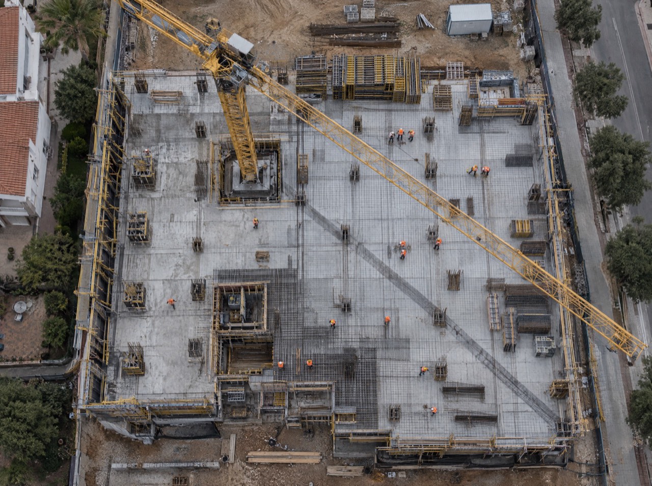
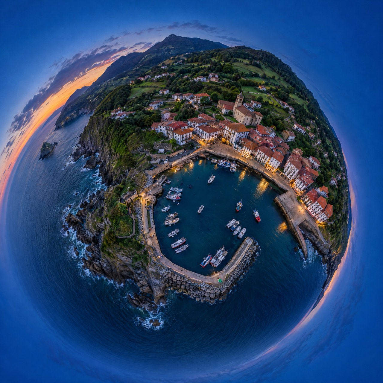
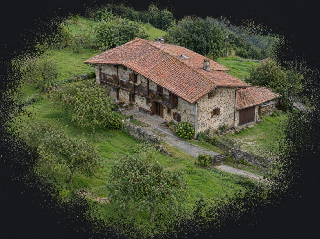
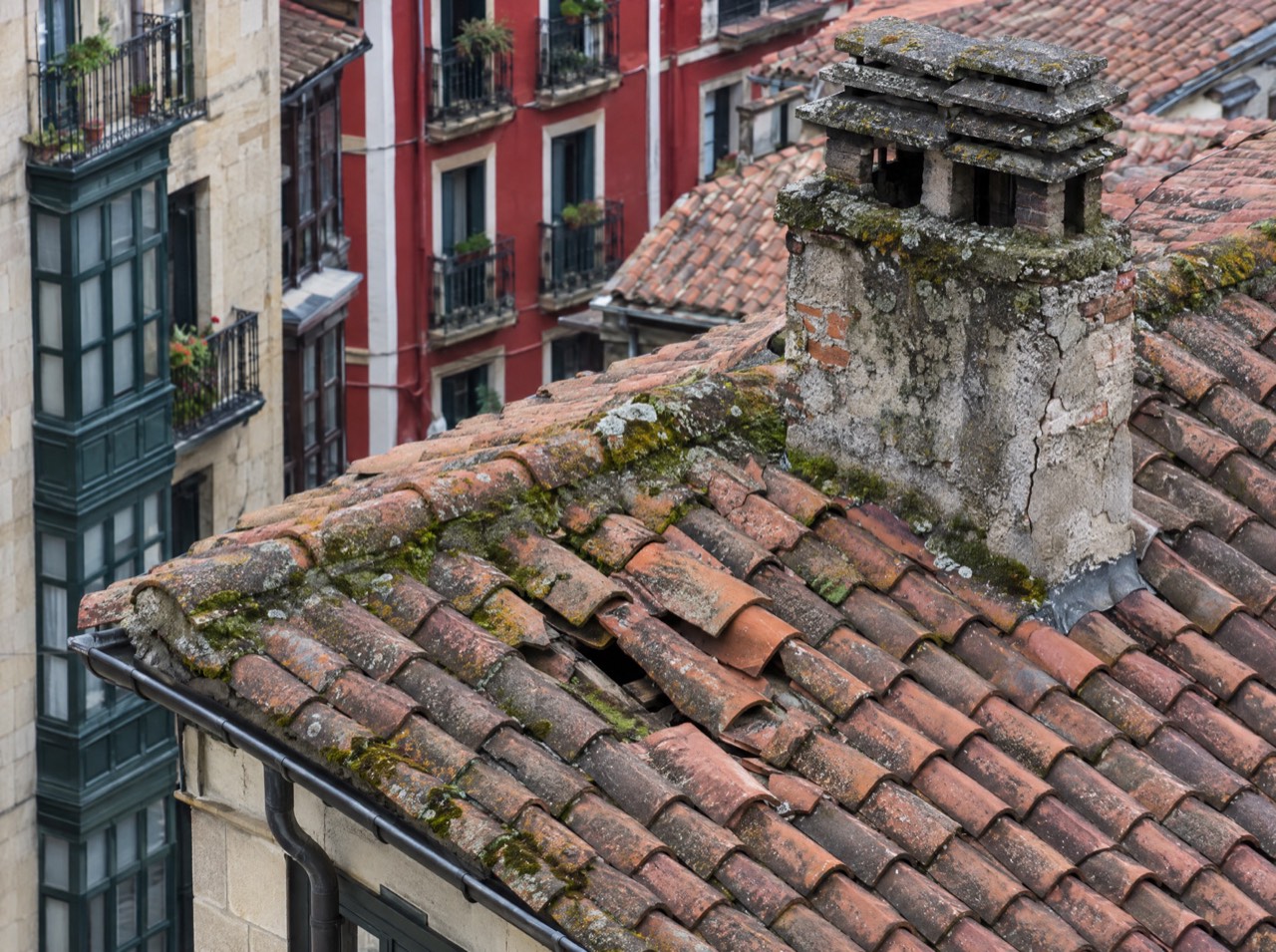
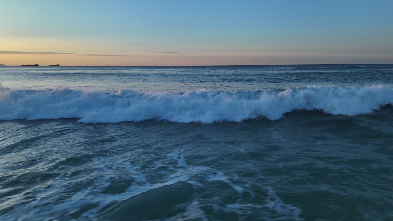
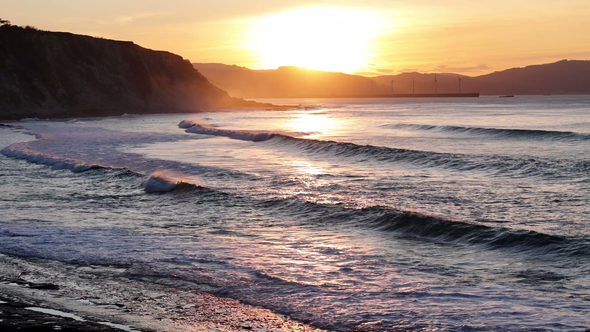
Sell the view before it's built
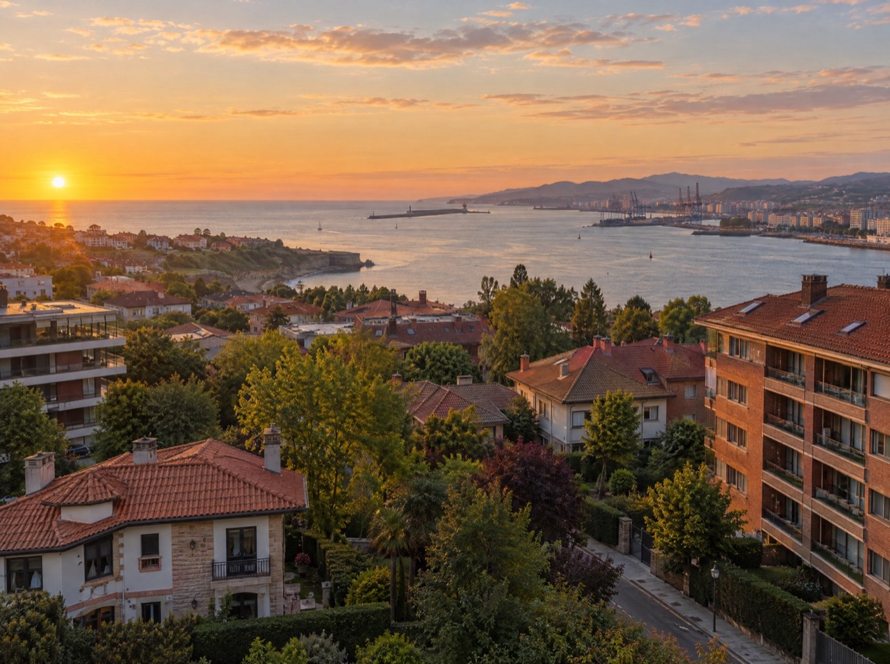
We fly the drone to the exact coordinates and height of every floor of your development and shoot all four directions. The buyer of apartment 5B sees their real view, not an approximation.
- Up to 8 heights × 4 directions
- One sheet per apartment, ready for the brochure
- Can be combined with a render photomontage
Clear from take-off
Starting prices, VAT not included, based in the Basque Country. Every flight is different: you get a fixed quote before the propellers spin.
From a map pin to delivery
- 01
Brief
Send us the location (or a map pin), what you want to achieve and when. We reply with a flight plan and a fixed price.
LAT · LON · GOAL - 02
Permits
We check UAS geographical zones and handle whatever is needed: Interior Ministry, ENAIRE, heliports, ADIF or the landowner.
ENAIRE · AESA · EASA - 03
Flight
We fly with purposely chosen light and weather, within visual line of sight and with Remote ID. If the weather doesn't cooperate, we reschedule at no cost.
ALT ≤ 120 m · VLOS - 04
Delivery
Edited photos, finished video, maps, 360° panoramas or 3D models, in the format you need and with the coordinates of every shot when they matter.
JPG · RAW · MP4 · PDF · KMZ
Permits are on us
Flying well isn't just piloting. We check UAS geographical zones and handle notifications with the Spanish Ministry of the Interior, ENAIRE (air navigation), heliport and aerodrome operators, ADIF (railways) or landowners. You just choose the shot.
We don't do thermal imaging, LiDAR, multispectral agriculture or light shows: they need equipment we don't have. If you need them, we'll point you in the right direction.
- UAS operator
- Registered with AESA (Spain)
- Pilot
- A1/A3 certificate, valid across the EU
- Aircraft
- DJI Air 3 · C1 class
- Identification
- Remote ID active
- Lenses
- 24 mm + 70 mm · 1/1.3″ CMOS
- Flight time
- Up to 46 min per battery
Before take-off
Can you fly a drone in Bilbao or other city centres in Spain?
Yes, with preparation. In urban areas the flight must be notified to the Ministry of the Interior at least 5 days in advance, keeping distance from buildings and never flying over people. Bilbao is also inside the airport's controlled airspace: below 60 m and away from heliport zones there's usually no need to coordinate with ENAIRE; otherwise we apply for it. We handle it all.
How much does a drone service cost?
It depends on the job: aerial photos start at €290, a half day of filming at €450, a land plot report at €590 and construction monitoring at €290 a month. You always get a fixed quote before the flight.
How much notice do you need?
In unrestricted areas we can sometimes fly within 48–72 h. In urban areas allow 5–7 days; near heliports or aerodromes the operator's reply can take 1 to 4 weeks. We tell you before confirming a date.
Do you work outside the Basque Country?
Yes. We're based in Getxo, near Bilbao, and travel to Madrid, the rest of Spain and Europe. Travel is quoted separately.
Can you film weddings, concerts or races?
Yes, with one clear rule: we never fly over uninvolved people or crowds. We plan side angles or shots before and after peak attendance.
Are the photos geotagged?
Yes. Every photo stores latitude, longitude, altitude and heading in its metadata, and land plot reports also include a map of all shot locations and a coordinates table.
What don't you do?
Thermal imaging, LiDAR, multispectral agriculture, crop spraying and light shows require equipment we don't have. If you need them, we'll point you to specialist operators.
- Based in Getxo · Bizkaia · Basque Country
Drone pilot in Bilbao and the Basque Country
Drone services in Bilbao, Getxo and the Basque Country: aerial filming, drone photography, 360° panoramas, construction monitoring and roof inspections. We know Bilbao's airspace and handle the permits.
- Madrid · metropolitan area
Drone services in Madrid for developers and brands
Land plot aerial photography, floor-level views, construction monitoring and drone video in Madrid and its metropolitan area. We handle heliport and aerodrome coordination. Grouped flight days.
- European Union · EASA rules
Drone filming and photography across Europe
Drone operator registered in Spain with an A1/A3 pilot certificate valid across the EU. Drone shoots for brands, tourism and real estate anywhere in Europe, with light kit and country-by-country permit checks.
Aerial drone filming · Georeferenced land plot report · Real views from every floor · Construction progress monitoring · Aerial 360° panoramas · Photogrammetry and 3D models · Drone roof inspection · Sports and outdoor filming · Hotels, wineries and tourism
Where are
we flying?
Send us the location and what you need. We'll reply with a flight plan, the permits required and a fixed price.
Getxo · Bilbao · Basque Country — flying across Spain and Europe