
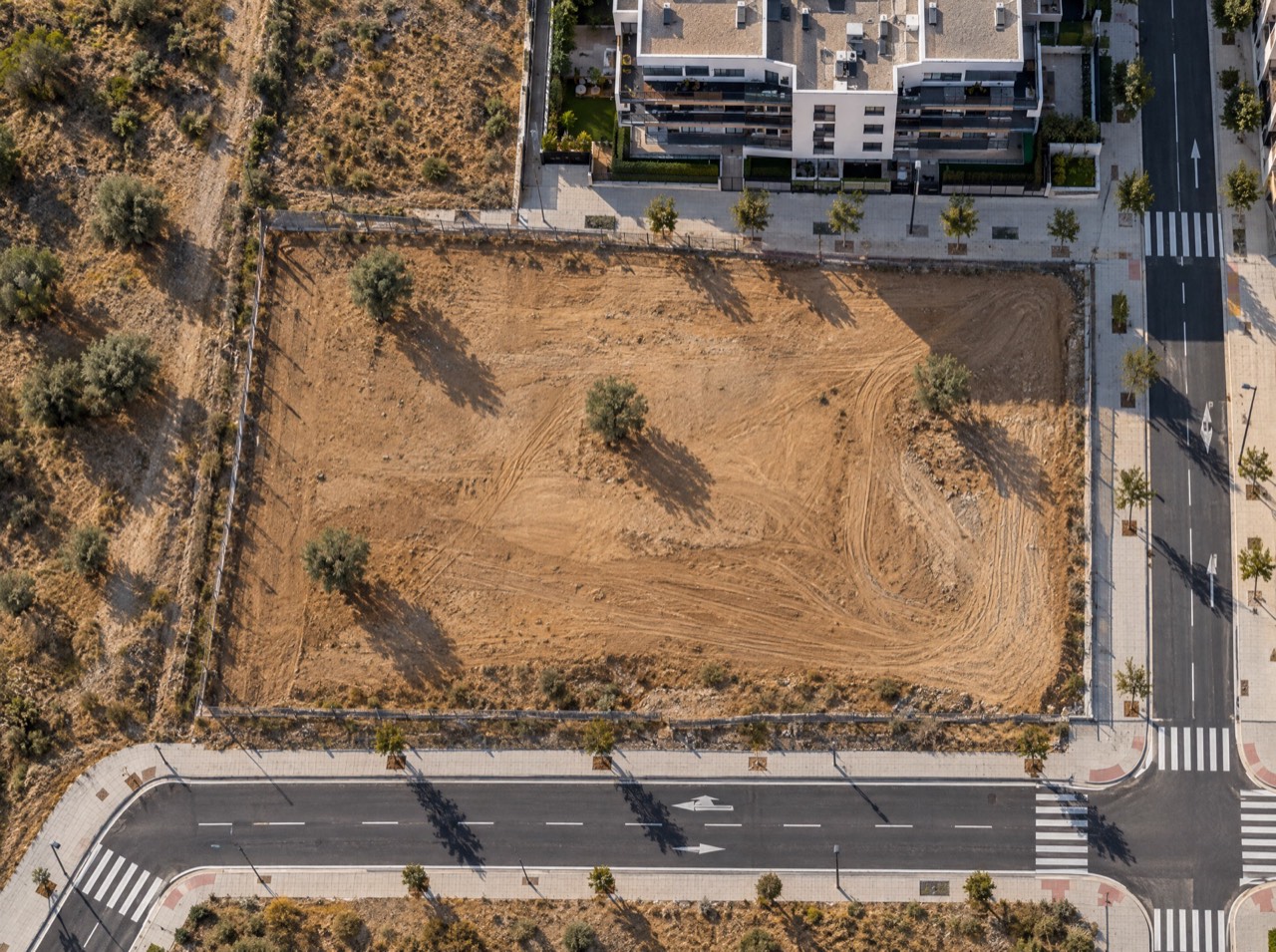
Aerial photography of land plots with GPS coordinates
We document land plots and development sites from the air in a ready-to-share report: 20 to 30 aerial photos with the coordinates, altitude and heading of every shot, a map of where they were taken, a 360° panorama of the surroundings and a PDF you can send straight to investors, valuers or the planning office.
What's included
- 20–30 edited aerial photos
- Coordinates, altitude and heading of every shot (EXIF)
- Map of shot locations and coordinates table
- Top-down and oblique views from all four sides
- One 360° panorama of the surroundings
- PDF report and KMZ file for Google Earth
Made for
- Property developers
- Land acquisition teams
- Valuers
- Architects and planners
- Investment funds
- Due diligence
Starting prices, VAT not included, based in the Basque Country. Every flight is different: you get a fixed quote before the propellers spin.
What a georeferenced land plot report is
It's the fastest way for someone who has never set foot on the site to understand it: where it is, what surrounds it, its access, boundaries and orientation. Every image is geotagged, so any technician can place it on a plan or in Google Earth.
Pricing
The land plot report starts at €590 (VAT not included) for a standard urban plot. Larger sites, heliport or aerodrome coordination (common in Madrid) or extra video and panoramas increase the price.
What it isn't
It isn't a certified topographic survey. Coordinates come from the drone's GPS, with metre-level accuracy. If your project needs centimetre accuracy, we coordinate ground control points with your surveyor or tell you before we fly.
From a map pin to delivery
- 01
Brief
Send us the location (or a map pin), what you want to achieve and when. We reply with a flight plan and a fixed price.
LAT · LON · GOAL - 02
Permits
We check UAS geographical zones and handle whatever is needed: Interior Ministry, ENAIRE, heliports, ADIF or the landowner.
ENAIRE · AESA · EASA - 03
Flight
We fly with purposely chosen light and weather, within visual line of sight and with Remote ID. If the weather doesn't cooperate, we reschedule at no cost.
ALT ≤ 120 m · VLOS - 04
Delivery
Edited photos, finished video, maps, 360° panoramas or 3D models, in the format you need and with the coordinates of every shot when they matter.
JPG · RAW · MP4 · PDF · KMZ
Georeferenced land plot report · Frequently asked questions
How accurate are the photo coordinates?
They come from the drone's GPS: enough to place every shot on a plan or in Google Earth (metre-level accuracy). It doesn't replace a certified survey.
How long does delivery take?
Usually 2 to 5 working days after the flight. Any permits are handled beforehand.
Can you fly land plots in Madrid?
Yes. Many areas in Madrid are near heliports and aerodromes, so prior coordination is often needed. We handle it.
Other drone services

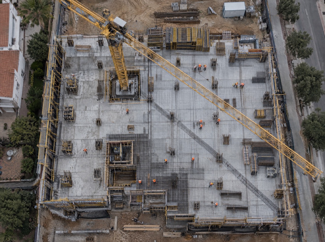
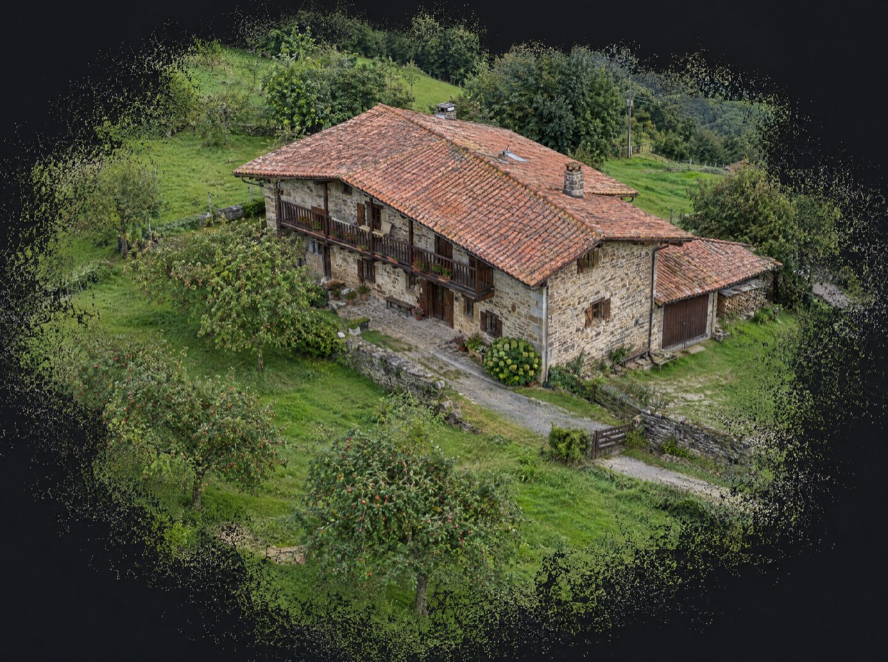
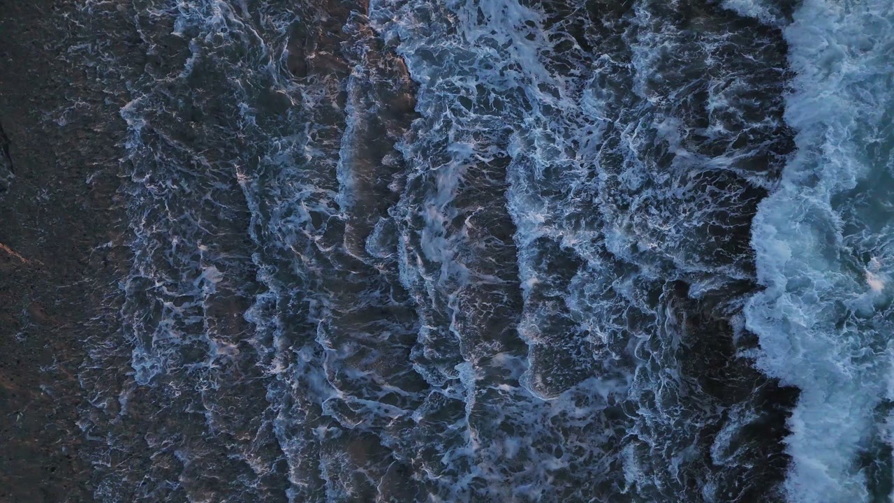
Permits are on us
Flying well isn't just piloting. We check UAS geographical zones and handle notifications with the Spanish Ministry of the Interior, ENAIRE (air navigation), heliport and aerodrome operators, ADIF (railways) or landowners. You just choose the shot.
We don't do thermal imaging, LiDAR, multispectral agriculture or light shows: they need equipment we don't have. If you need them, we'll point you in the right direction.
- UAS operator
- Registered with AESA (Spain)
- Pilot
- A1/A3 certificate, valid across the EU
- Aircraft
- DJI Air 3 · C1 class
- Identification
- Remote ID active
- Lenses
- 24 mm + 70 mm · 1/1.3″ CMOS
- Flight time
- Up to 46 min per battery
Where are
we flying?
Send us the location and what you need. We'll reply with a flight plan, the permits required and a fixed price.
Getxo · Bilbao · Basque Country — flying across Spain and Europe